Land Surveying Services
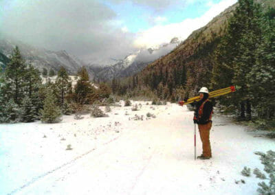
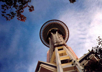
BRH has been providing land surveying services in Seattle and the greater Puget Sound area for over 50 years.
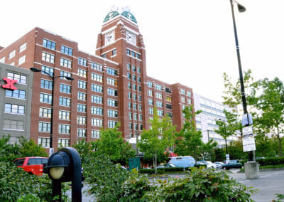
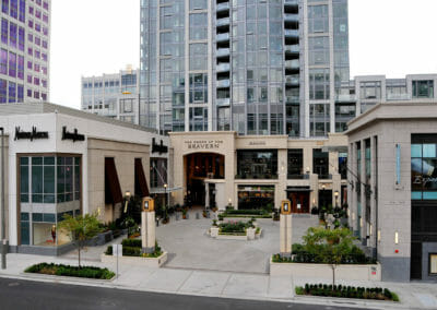
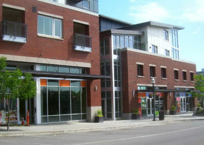
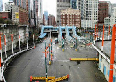
Our projects support the public and private sectors – owners and developers, planning, design and environmental disciplines, real estate management, and construction companies. We provide start to finish land surveying for your project.
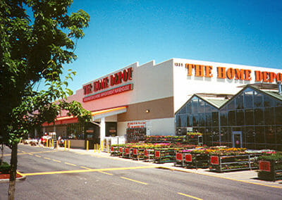
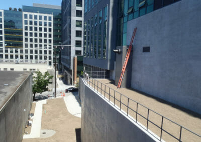
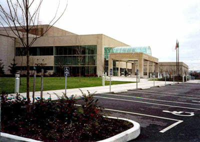
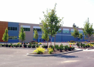
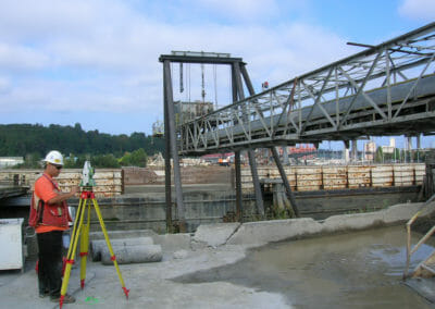
For the commercial sector, we perform an initial ALTA survey followed commercial topographic design survey, construction support, monitoring services and the final ALTA survey.
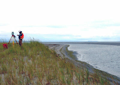
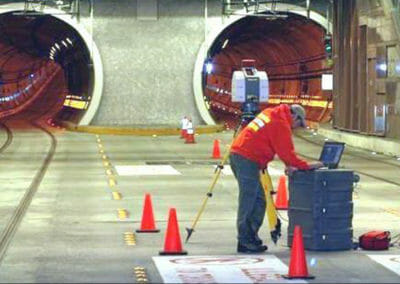
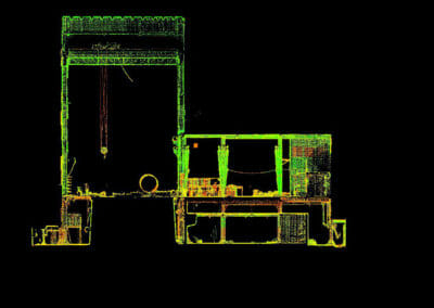
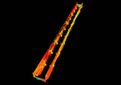
We use both traditional survey techniques and 3D high definition scanning, to create survey base maps delivered in
AutoCAD Civil 3D and Revit.
Browse our Portfolio
Learn More About Our Services
Meet our Land Surveying Team
Learn more about our Civil Engineering services
Contact Us
Our clients tell us we are:
• responsive and receptive • reliable and trustworthy • thorough, complete and accurate
• responsive and receptive • reliable and trustworthy • thorough, complete and accurate
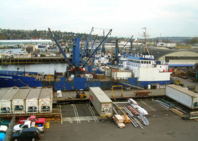
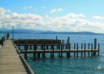
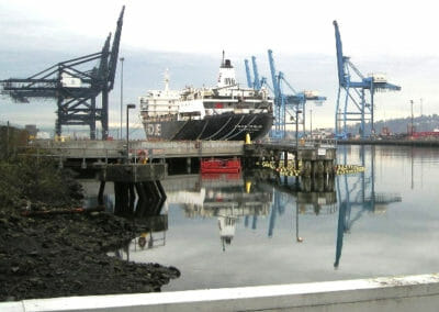
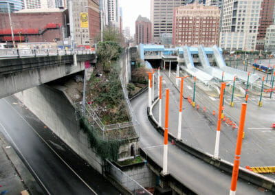
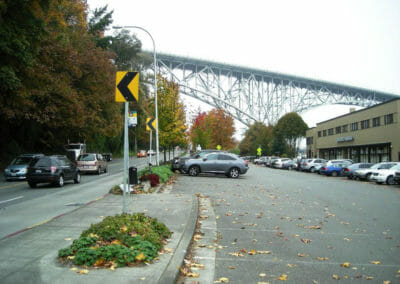
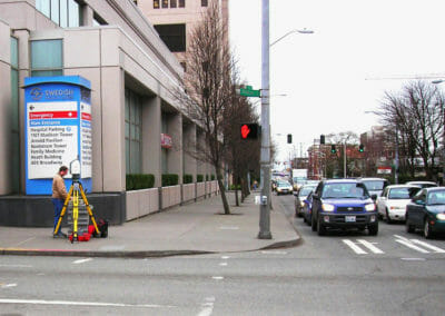
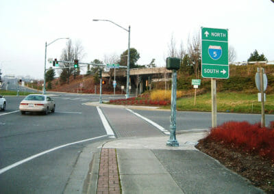
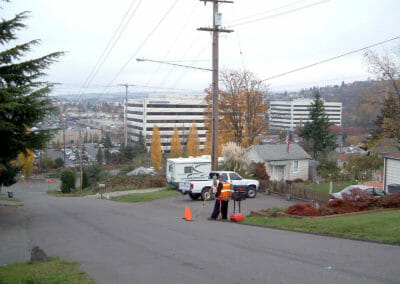
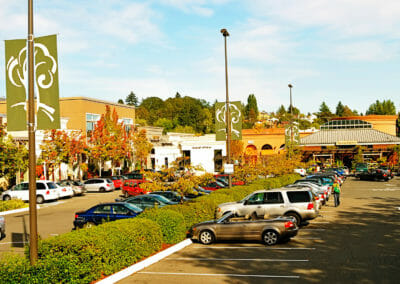
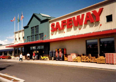
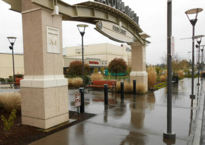
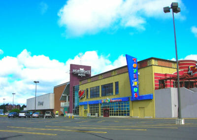
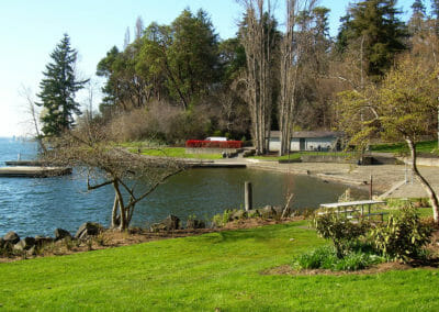
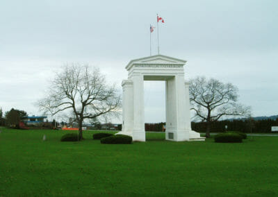
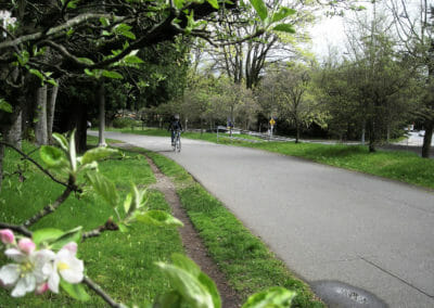
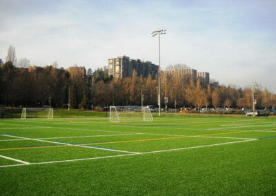
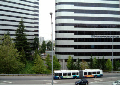
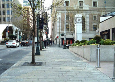
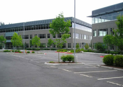
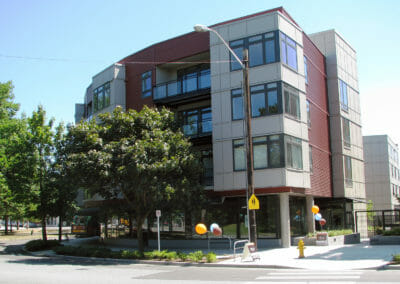
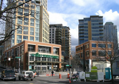
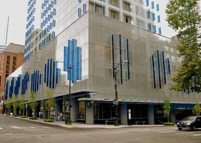
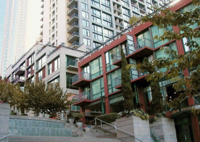
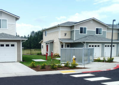
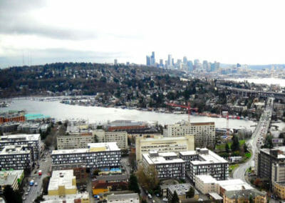
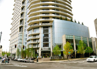
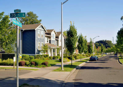
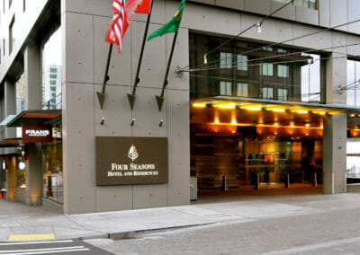
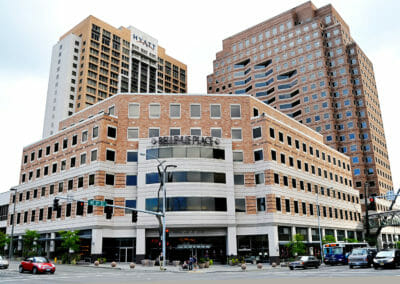
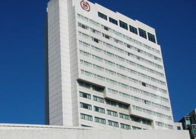
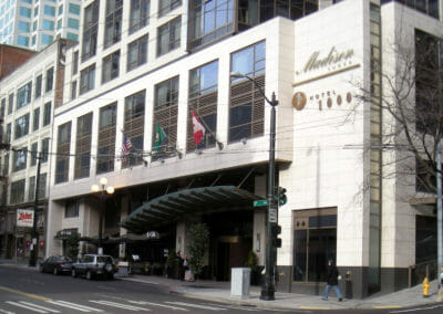
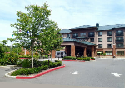
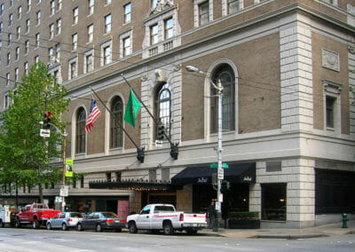
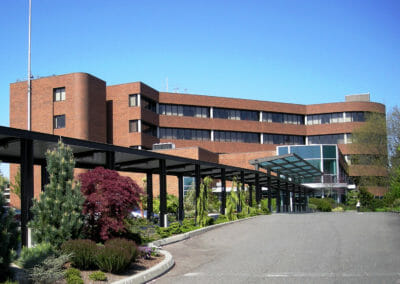
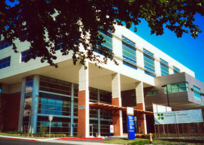
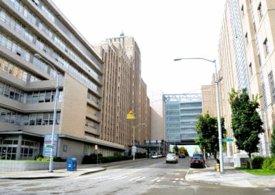
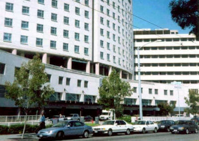
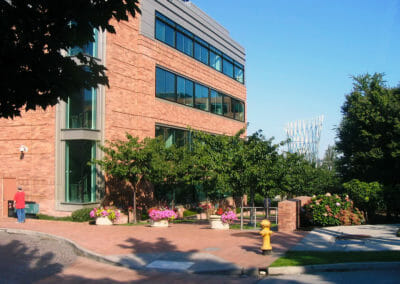
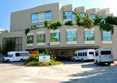
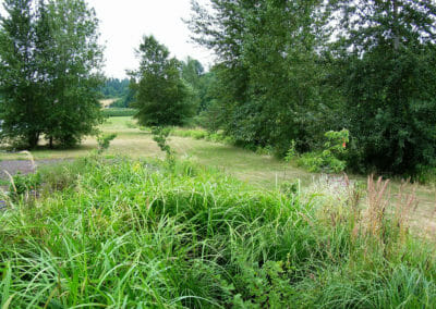
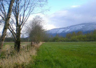
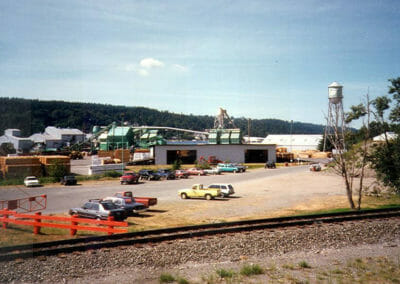
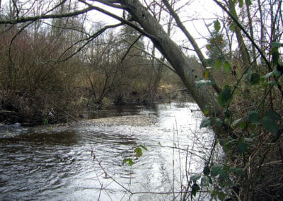
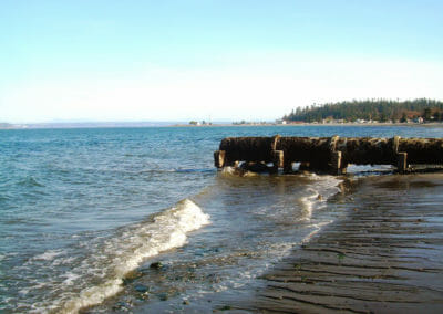
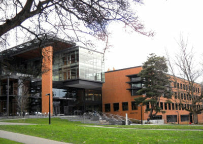
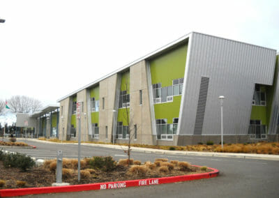
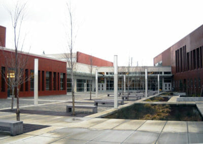
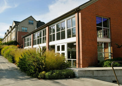
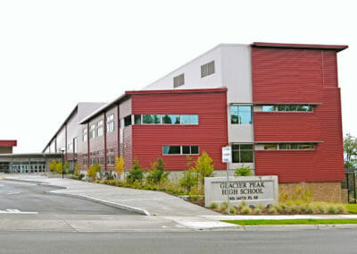
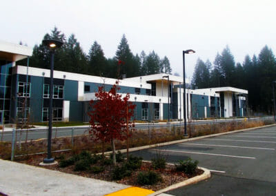
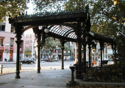
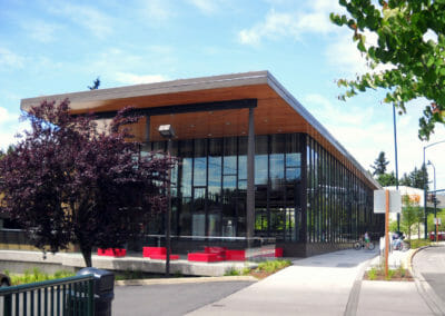
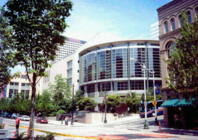
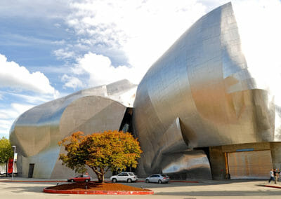
Browse Our Land Surveying Work:

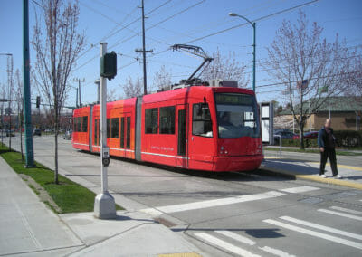
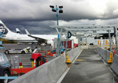

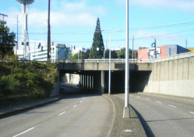


Our Land Surveying Services include:
- 3D Laser Scanning
- ALTA / NSPS Land Title Surveys
- As Built Land Surveys
- Base Mapping
- Boundary Surveys
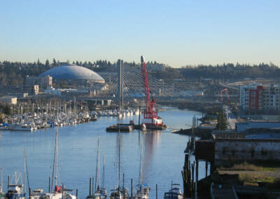
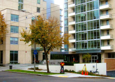
- Commercial Land Surveys
- Construction Surveys and Monitoring
- Drone UAV Reconnaissance, Mapping, and Imagery
- Hydrographic Surveys
- Land Use Surveys
- Legal Descriptions and Easements
- Public Sector Land Surveys
- Quantity Surveys and Volume Calculations
- Record of Surveys
- Right of Way Surveys
- Topographic Surveys
- Utility Detection and Locating
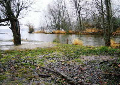
- Wetland and Critical Area Surveys