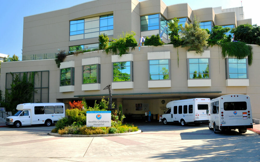
BRH has been surveying on this 250-bed hospital since 1989 when we provided topography for a renovation project. Since then we have provided a variety of survey services, campus-wide, serving the growing hospital. We are currently providing construction surveys and monitoring.
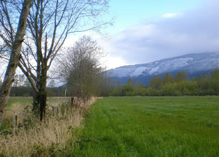
BRH provided a Lot Line Adjustment and Short Plat for this 40-acre site in Puyallup. The facility is part of the College of Agriculture and Home Economics. A request for additional services resulted in a topographic mapping assignment, wetland delineation and coordination with the local jurisdictions.
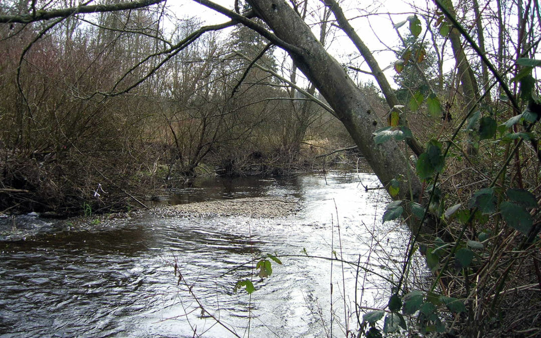
This project, near Sedro-Woolley, restored the creek. We provided the Upper Skagit Indian Tribe and Snohomish County with 1.5-miles of mapping along a 300-foot wide swath, depicting stream profiles, and the alluvial fan sediment profile. Extensive coordination with the ecologic team, the Tribe and farmers along the stream was required.
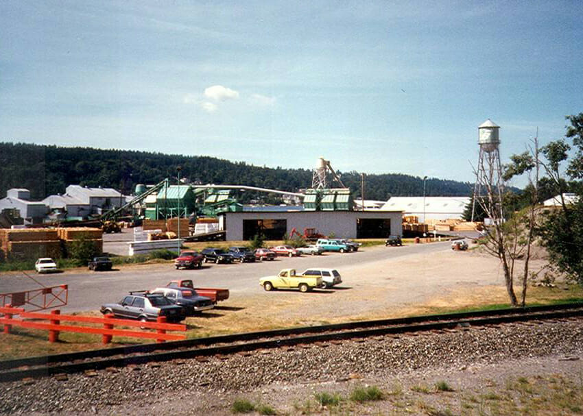
This EPA Superfund site in Renton was once home to a sawmill, coal tar refinery, and creosote plant. BRH provided a topographic map of the uplands and beach areas, as well as hydrographic mapping to identify below tide conditions. These surveys documented locations of creosote-laden logs, and other contaminated debris.
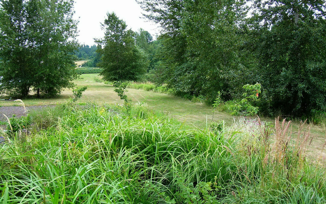
The creek was rehabilitated to stabilize the bank during flood conditions and restored to enhance the fish habitat environment. BRH provided a river bank profile survey and wetland delineation in order to support the design and environmental permitting team.
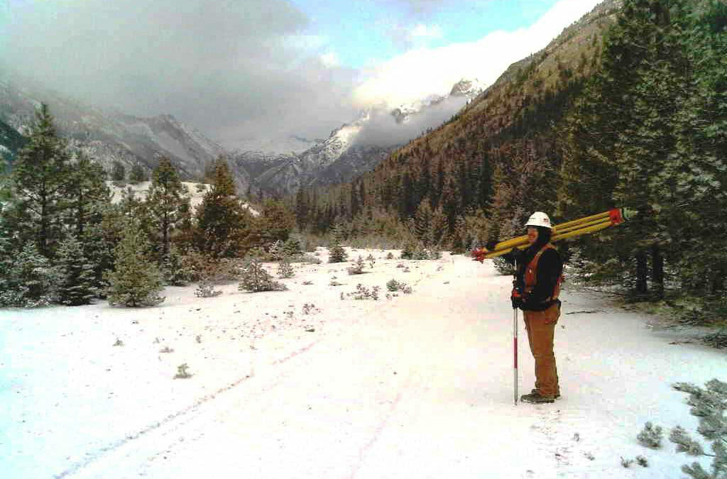
Railroad Creek, located 10 miles west of Lake Chelan, was remediated with oversight by USDA Forest Service, Federal EPA and the Washington State DOE. BRH services included land surveying to support forest clearing limits, staking, volumes and layout activities.
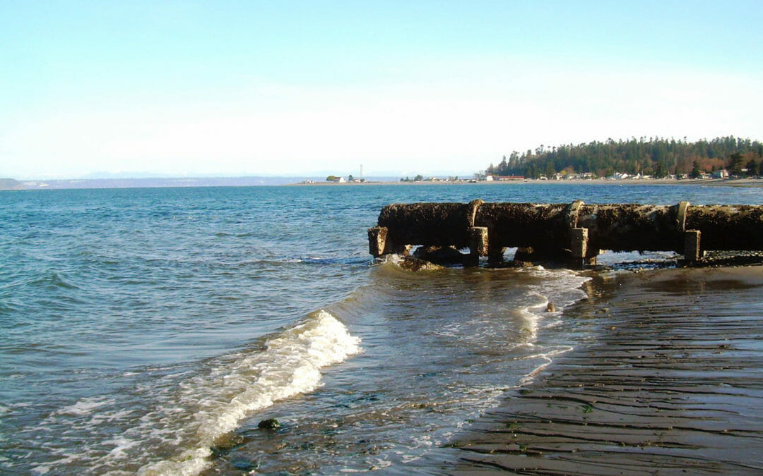
This Kitsap County site required restoration of the estuary. BRH provided a boundary and topographic survey of the site and adjacent areas, including a County park and the adjacent beach. We provided the elevation of the shoreline at mean sea level, as well as low and high tide levels, including a notation of the dates and times observed.
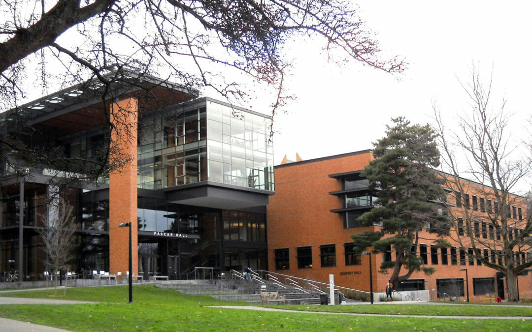
BRH provided a topographic base map showing all features such as buildings, retaining walls, adjacent roadways, paths, and underground utilities for Paccar and Dempsey Halls. Vaults were also shown, as were fiber-optic and secondary power lines, plus we provided a 3D “as-built” survey of the tunnel system.
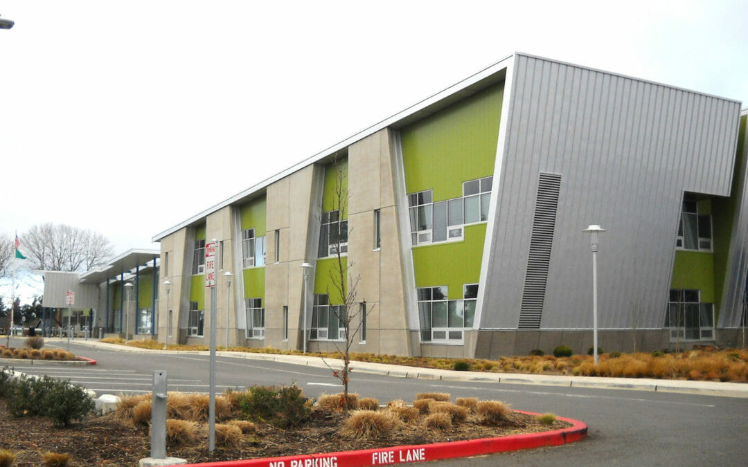
This new K-6 school is a 2-story, 66,500 square foot facility serving over 450 students. BRH was contracted to provide a full-site topographic and utility survey for this demolish and reconstruction project. The scope included the provision of spot elevations on a 50-foot grid to generate contours for the design team.