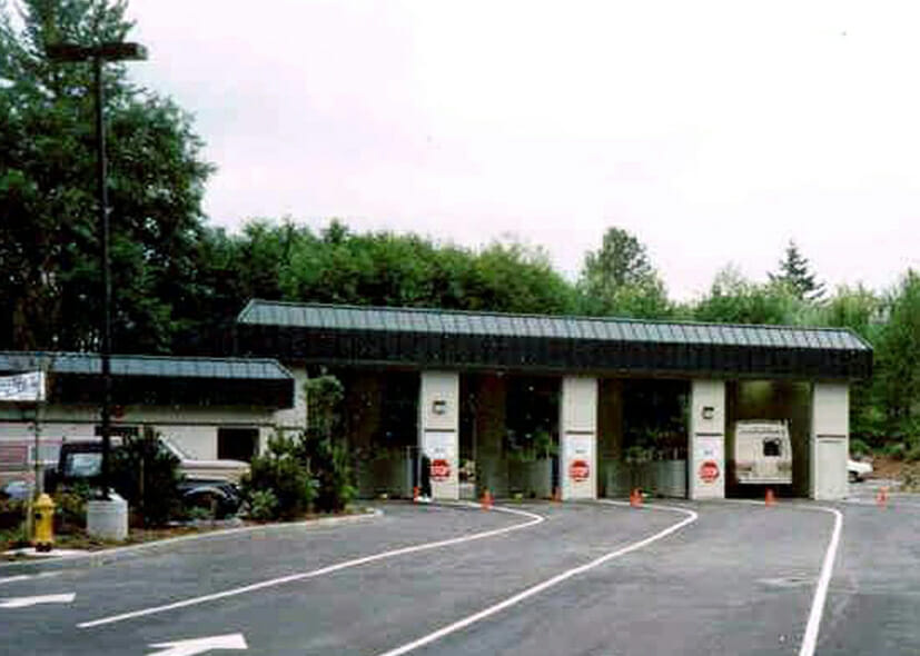
These sites are being used for automobile emission testing stations and are located in King, Snohomish and Pierce County. BRH provided design for site grading, storm, sanitary and water for 10 parcels ranging in size from 1.5 to 2.0 acres.
The existing parking lot on this Port Angeles site was deteriorating, cracking and settling, leaving areas of standing water. We re-graded the surface, building in an effective drainage system and adding requested site design features.
This facility maintains County vehicles involved in street maintenance, sweeping and emergency services, including snow removal. Site layout includes space for vehicle storage, and stockpiles of sand and gravel. We provided full scope civil engineering and the design of all site utilities, plus street improvements to Stone Avenue North.
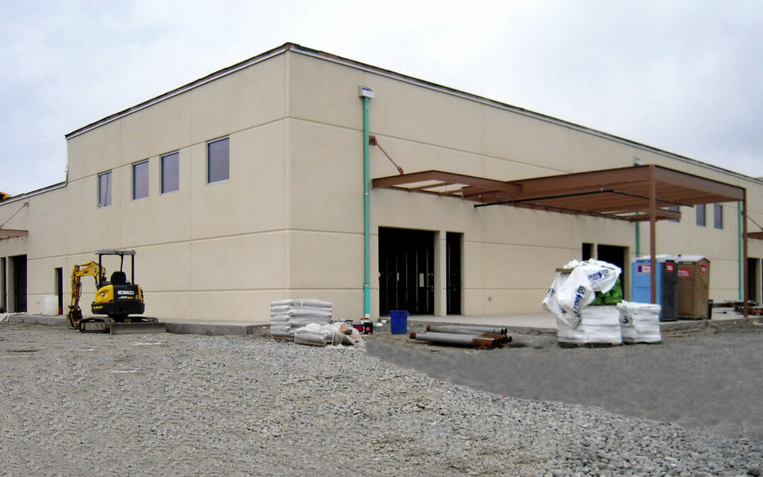
BRH’s complete civil design incorporated detention tanks and stormwater filtration. Oil/water separation was also provided for truck washing runoff. Services included schematic design, frontage improvements, construction documents, permit review, and construction administration.
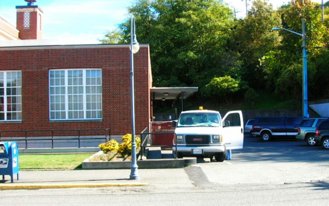
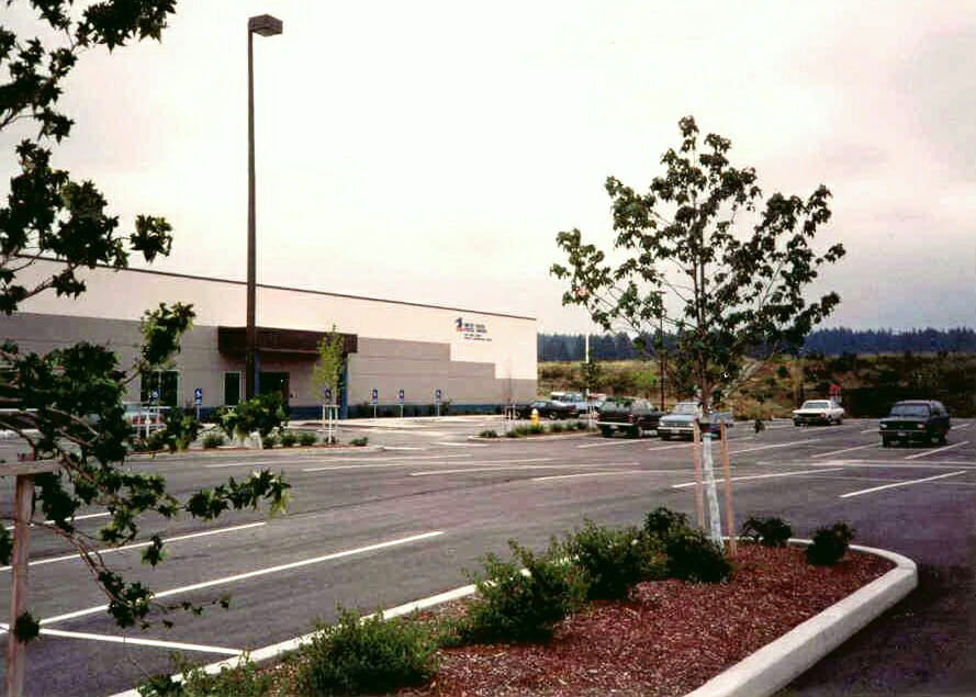
This regional post office distribution center in Redmond, required complete civil drawings including storm, sanitary sewer, water, fire lines, drainage design, parking, access and the design of regional water quality improvements.
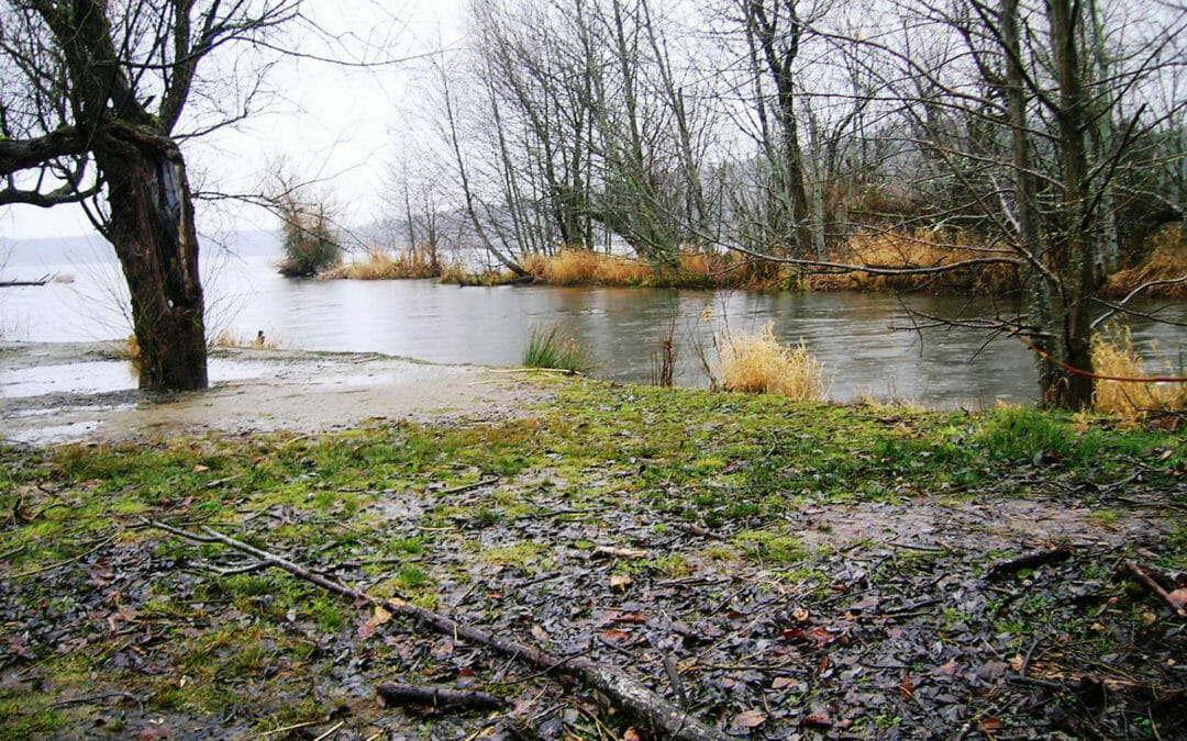
This park contains an extensive waterfront backed up by many natural features including forests, creeks and wetlands. The BRH team supported the restoration of Sunset Beach and the adjacent uplands with a 32-acre topographic survey, as well as a 40 acre hydrographic survey of the adjacent lake bed.
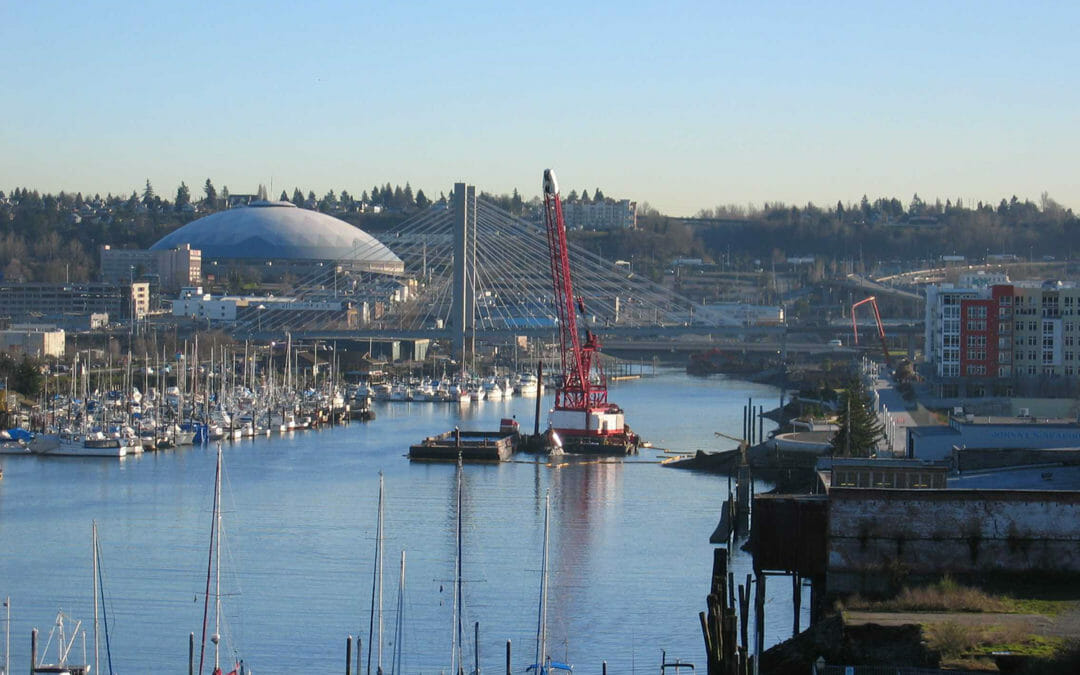
The Thea Foss and Wheeler-Osgood waterways were undergoing remediation. Our scope included a topographic and river boundary survey, monumentation, legal descriptions, a levee as-built profile map, a levee access easement, GPS for monument coordinates, and the filing of a Record of Survey.
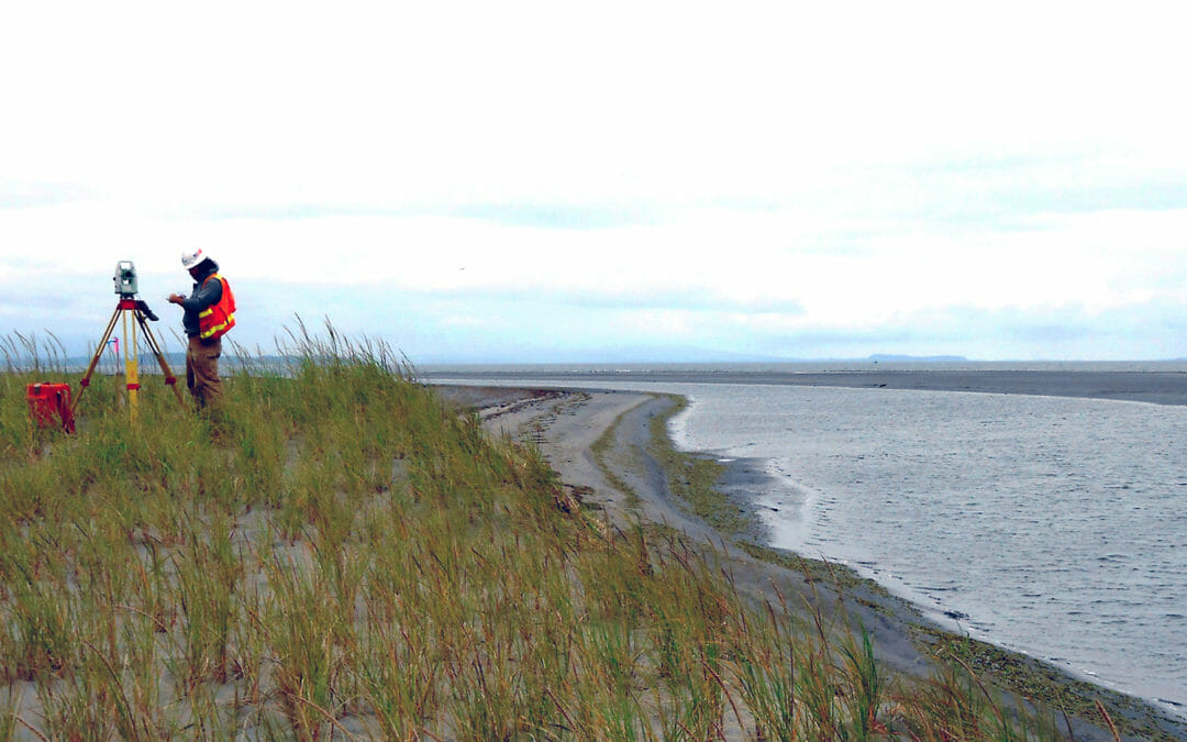
Severe winter storms have flooded tribal lands on the Shoalwater Bay Indian Reservation – resulting in silting of the 700-acre intertidal habitat in the North Cove embayment. We conducted a 350-acre topographic survey in marshy and wetland conditions along the coast, from the waterline at low tide to 100-feet upland of the berm’s landward toe.
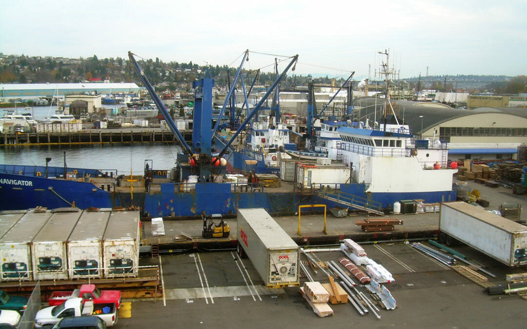
BRH has surveyed numerous sites along this waterway. Work has included recreational, industrial and commercial sites, and we have performed boundary and location surveys, topography and hydrography, Records of Survey and ALTAs.