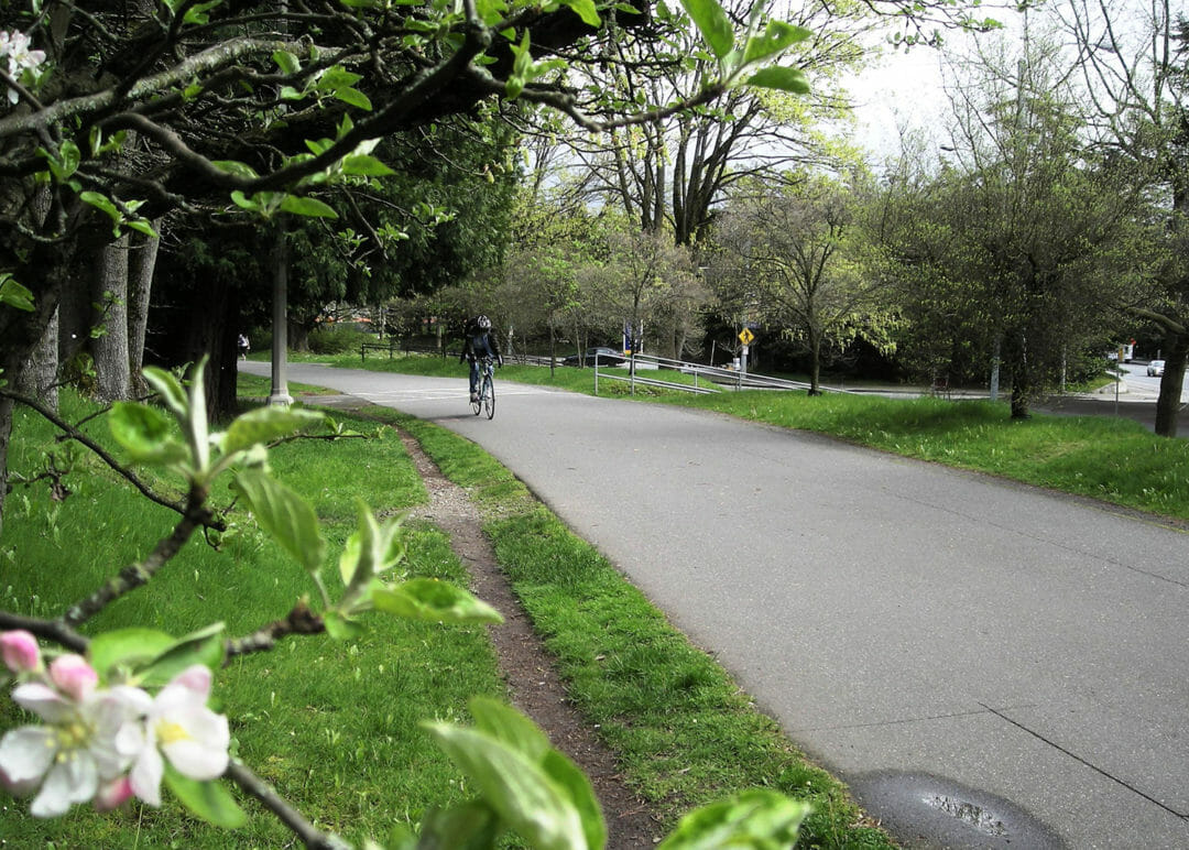
The University of Washington is renovating the 1.7-mile trail segment that runs through the campus. BRH provided boundary and topographic mapping along the trail, depicting elevations, vegetation, utilities, and surface features. Potholing for utility investigation was required, as was delineation mapping of the wetland limits.
Burke-Gilman Trail
Land Surveying, Recreation